We are Alto Drones.
With state-of-the-art LiDAR technology, we survey from the air what is often difficult to access from the ground. We capture complex terrain with precision and in great detail, even beneath dense vegetation. Under suitable conditions, underwater areas can also be scanned in a single flight. Depending on the task and requirements, we use state-of-the-art certified drones and manned helicopters.
The acquired data is used to generate highly accurate 3D point clouds, terrain models and other digital data products for planning, analysis and documentation. We plan every survey individually, combining sensors, platforms and data acquisition methods to develop the optimal solution for each project.

Airborne
Scanning
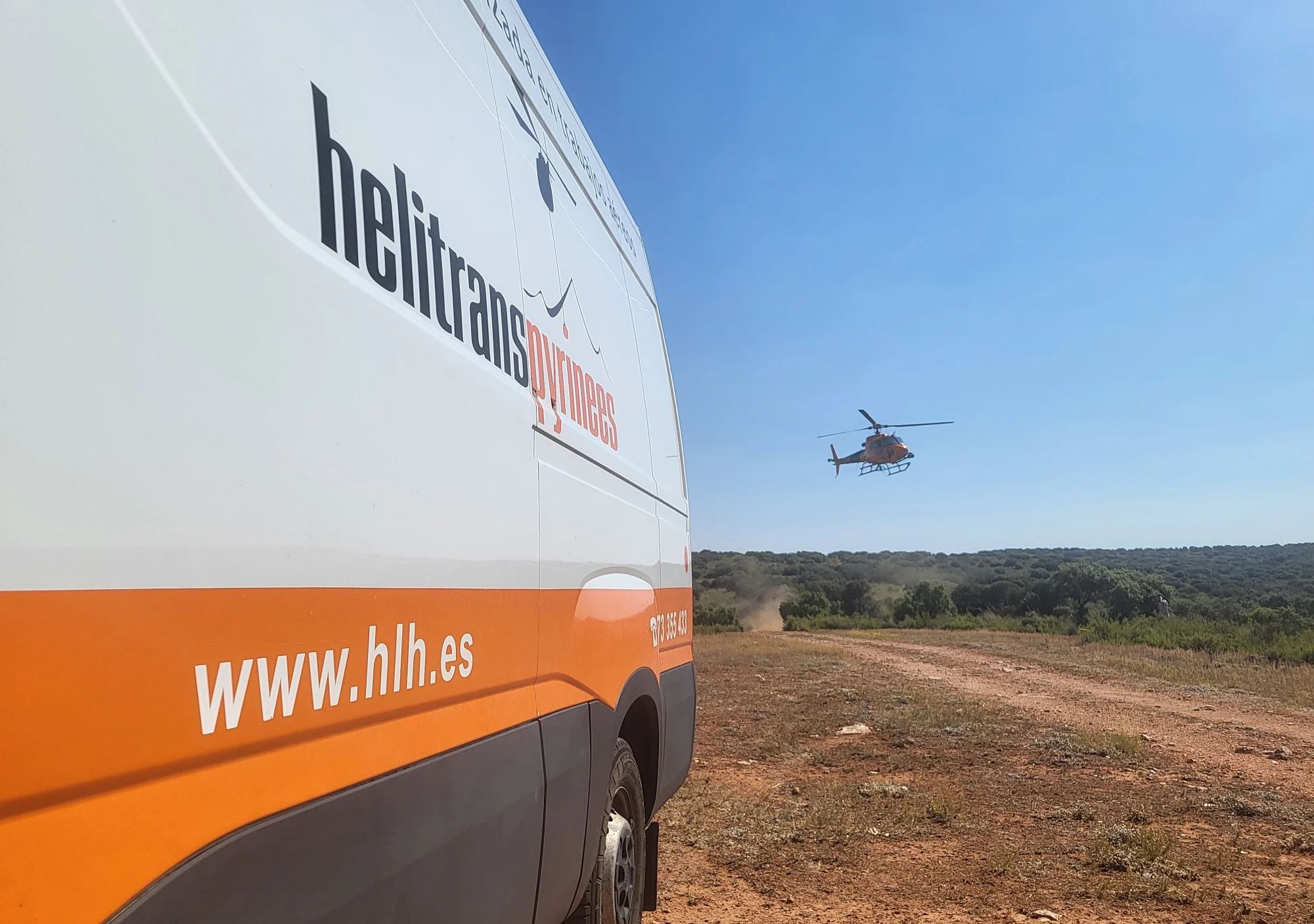
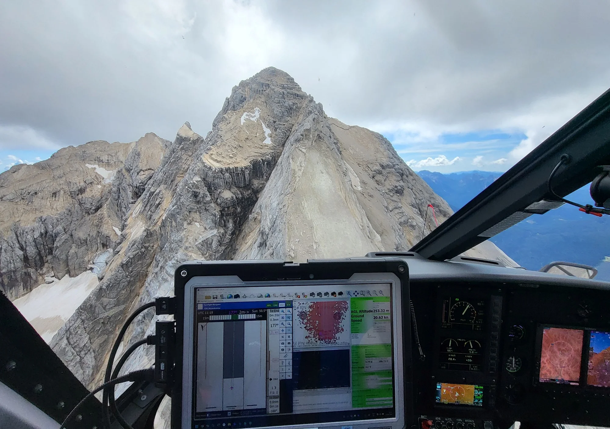
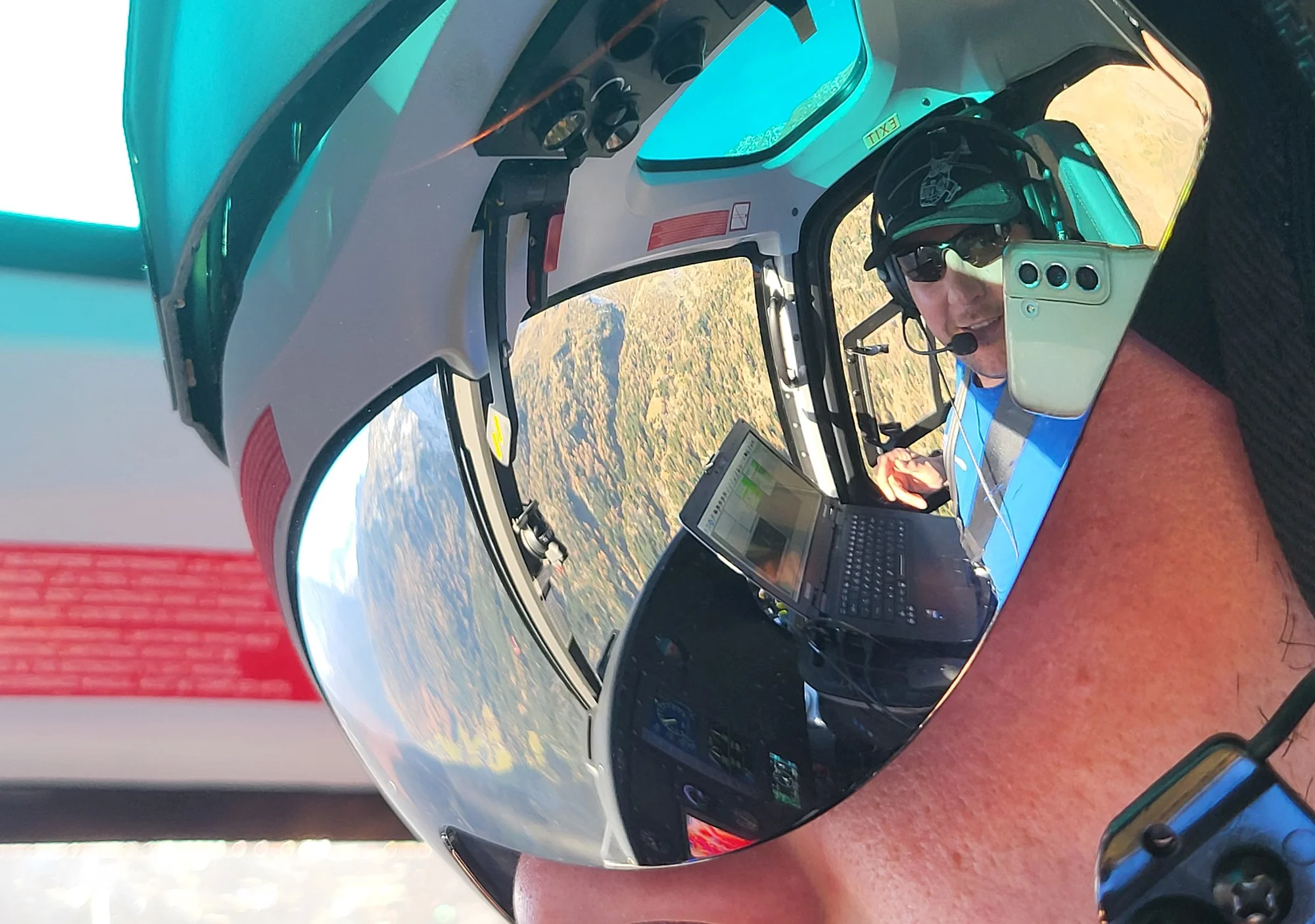
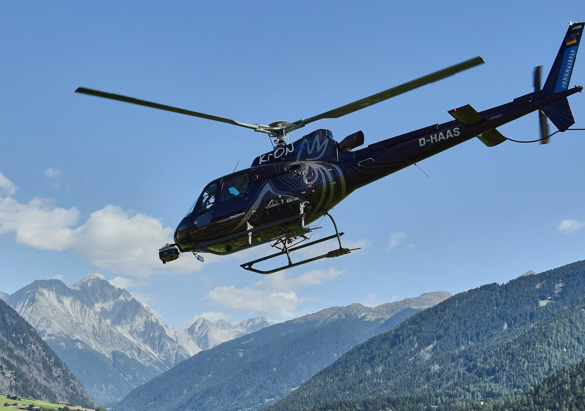
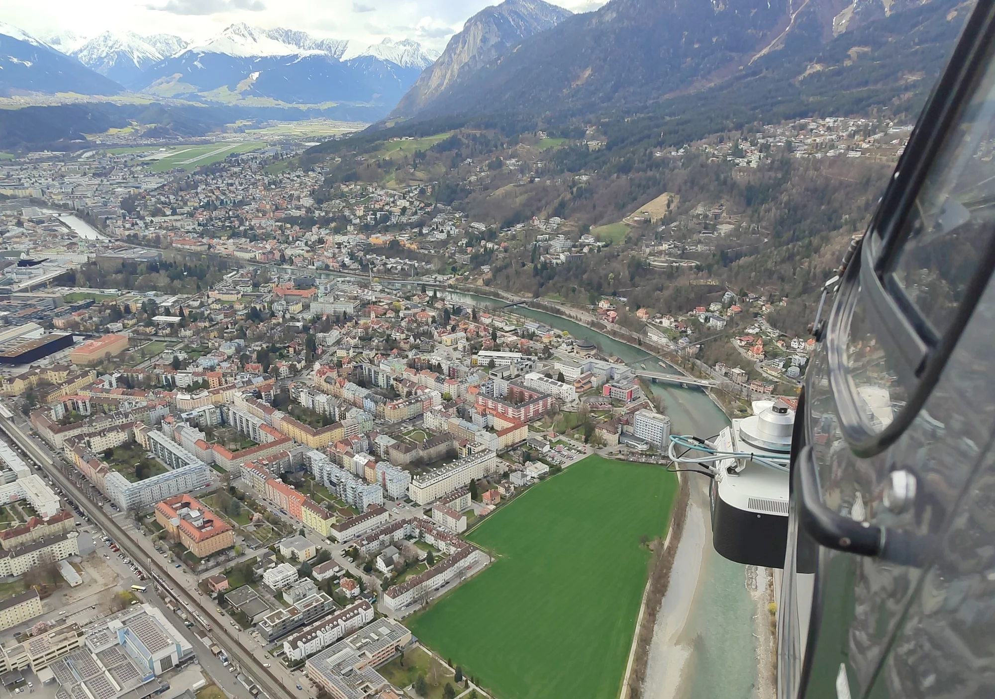
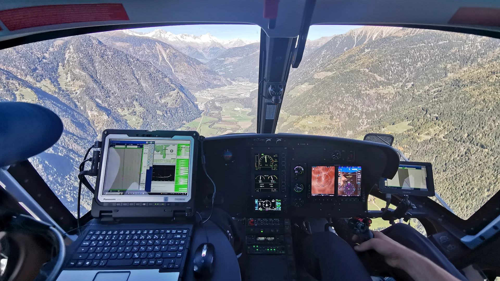
Helicopter-based laser scanning enables the comprehensive survey of large and complex areas. By combining RIEGL’s high-precision measurement technology with flexible flight planning, terrain surfaces, vegetation and structures can be efficiently captured in three dimensions.

Bathymetric Scanning
A specialized laser scanning system enables the aerial survey of water bodies. Under suitable conditions, the waterbed, shoreline areas and adjacent terrain can be captured seamlessly. Flexible flight planning allows the system to be adapted to different types of water bodies – from alpine mountain streams to large lakes and rivers, as well as coastal areas.

UAV-based Scanning
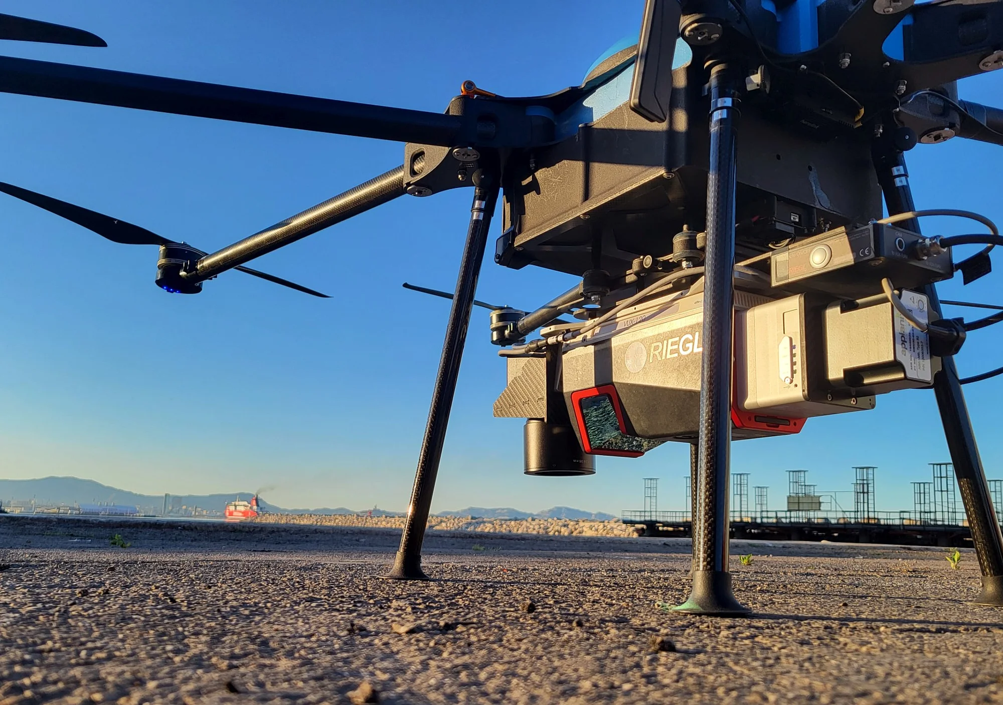
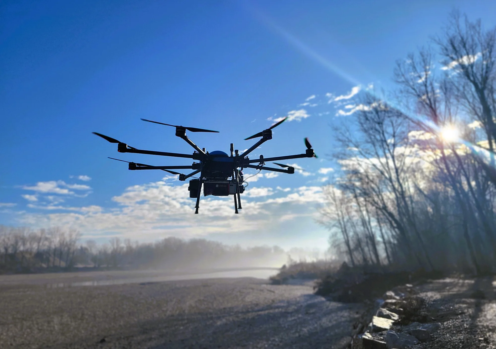
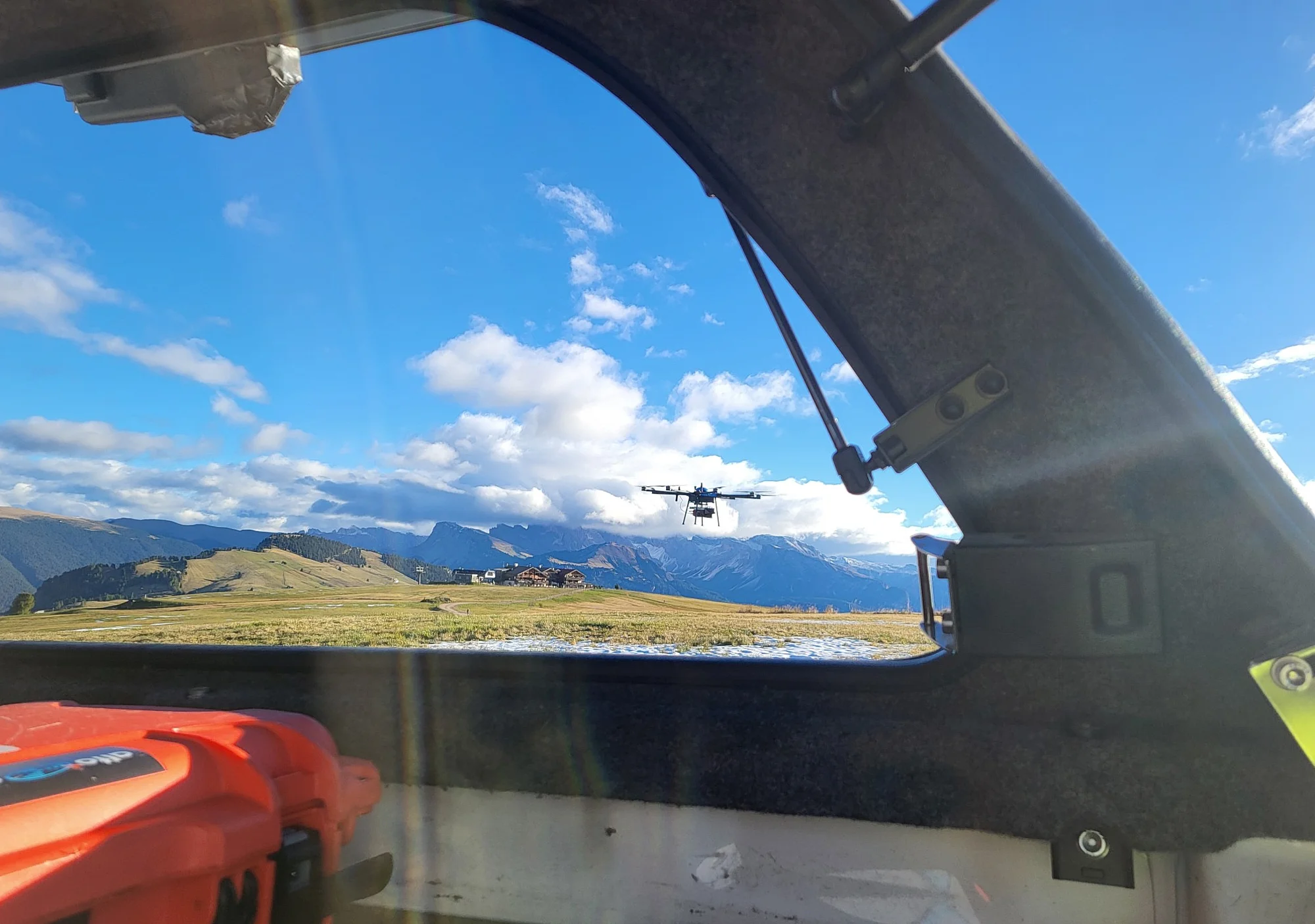
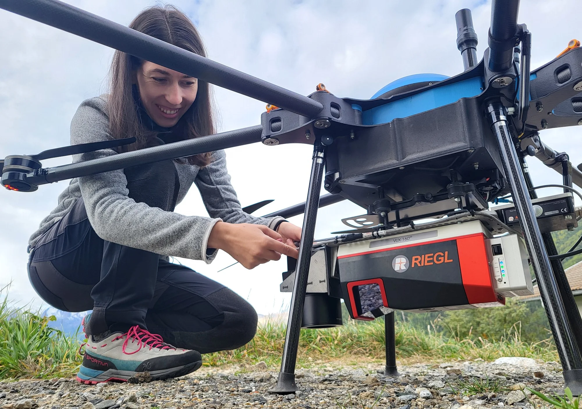
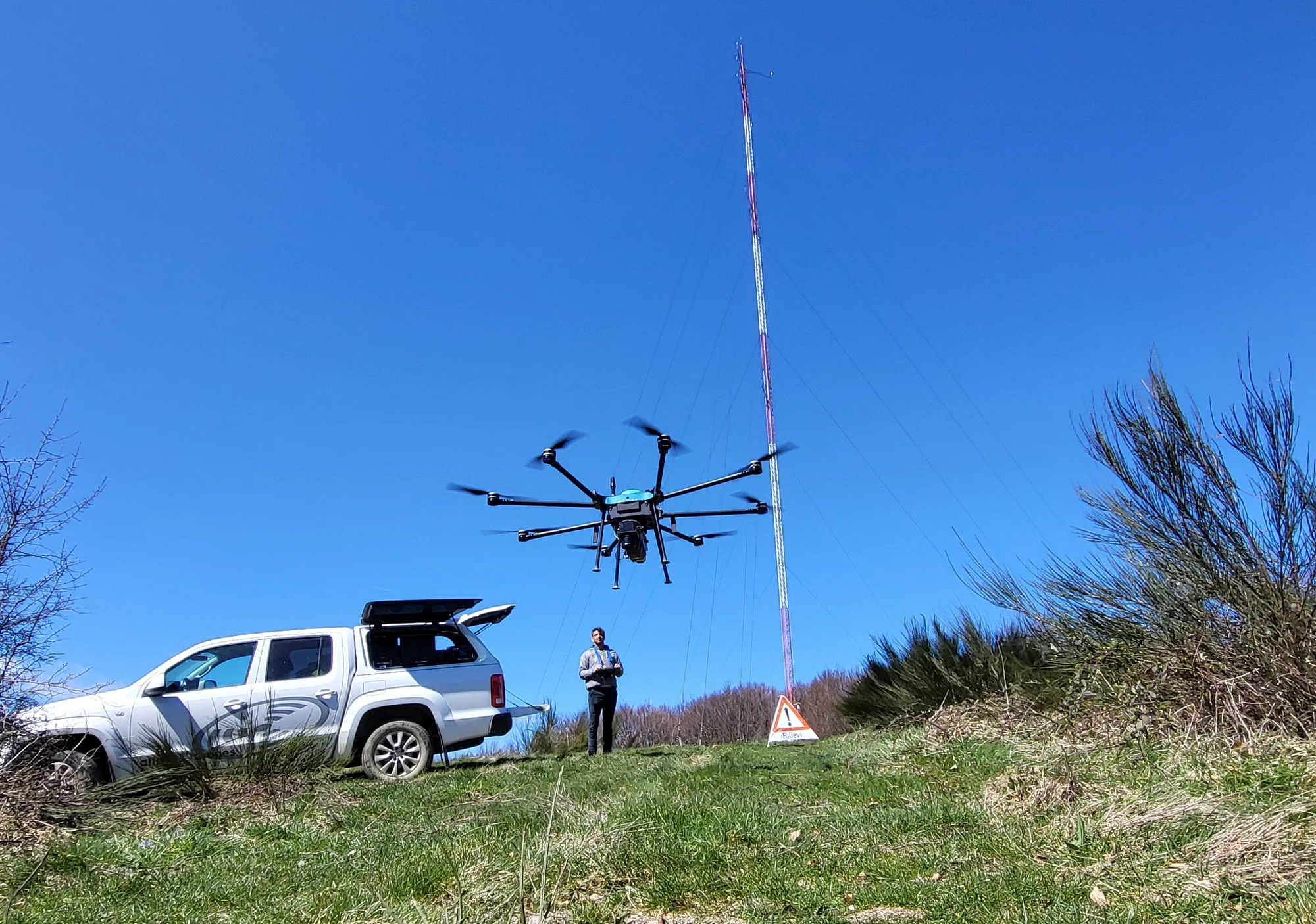
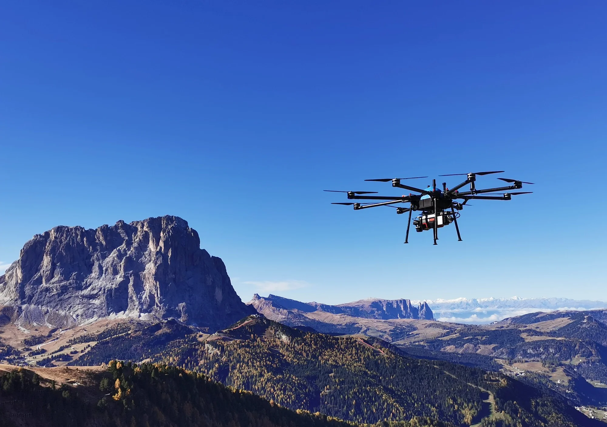
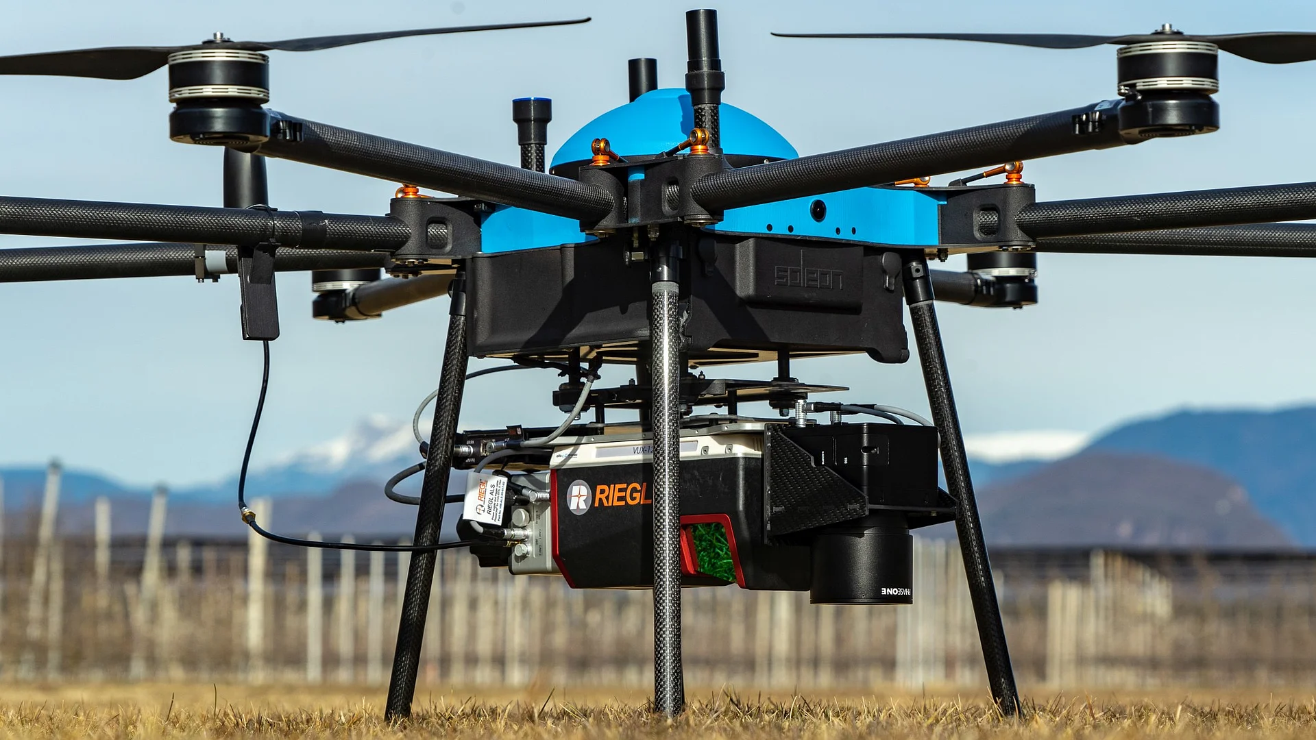
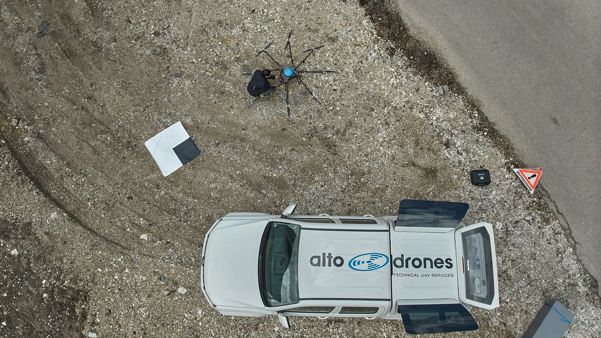
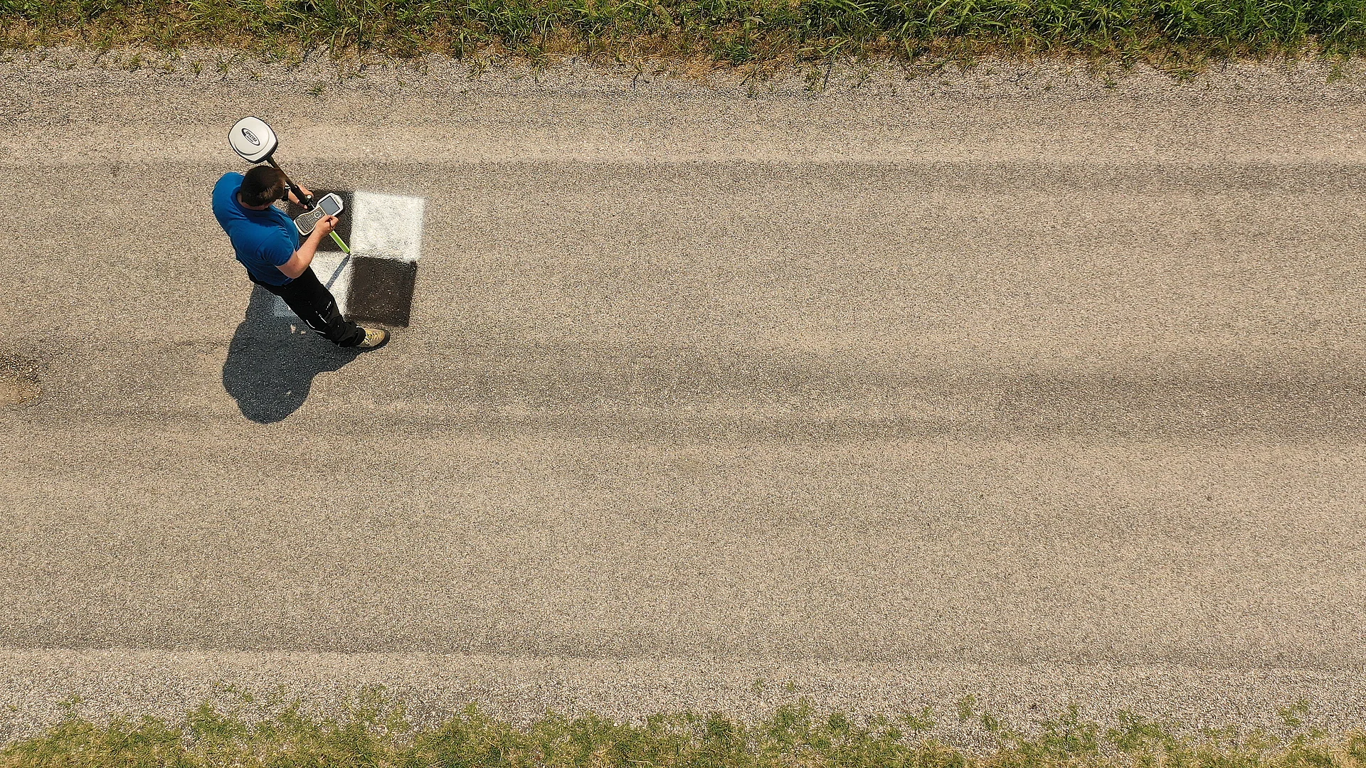
The relatively low flight altitude and slow survey speed of the drone, combined with powerful RIEGL sensors, enable the fast, precise and cost-effective capture of even difficult-to-access areas. This allows us to generate highly accurate survey data with an exceptionally high level of detail.